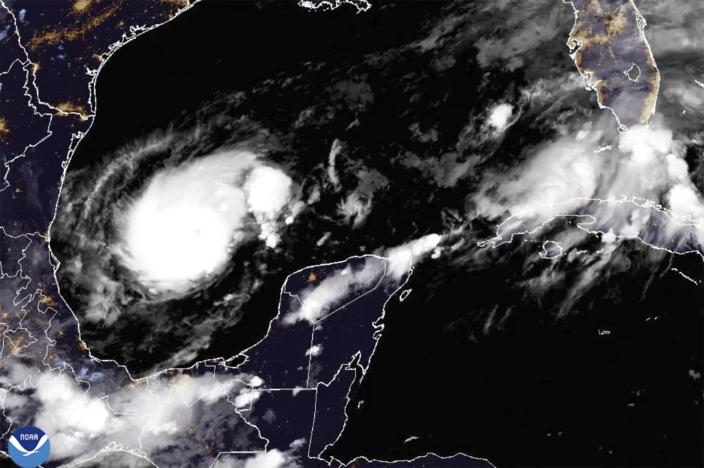
Florida is bracing for Hurricane Milton, now a powerful Category 4 storm with sustained winds of 150 mph, expected to hit the state’s Gulf Coast by midweek. The National Hurricane Center (NHC) warns of life-threatening storm surges, destructive winds, and significant rainfall, urging millions to evacuate.
Current Status and Warnings
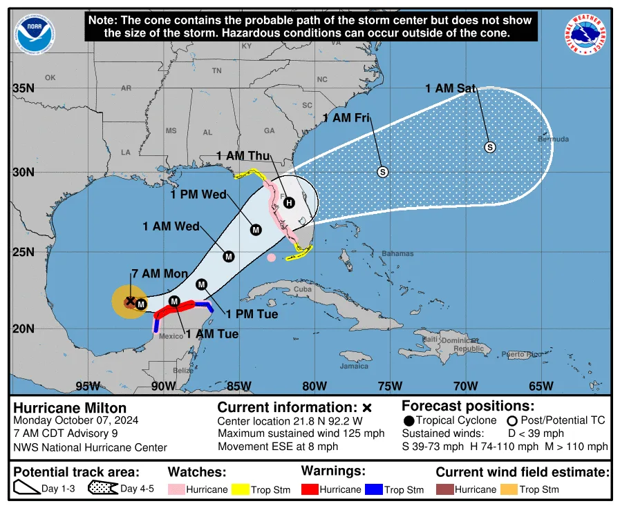
As of Monday morning, Hurricane Milton is located about 735 miles southwest of Tampa, moving east-southeast at 8 mph. Storm surge watches have been issued for much of Florida’s western coast, with water levels potentially rising 8 to 12 feet above ground in the hardest-hit areas. Local officials are advising residents to evacuate from vulnerable regions.
Flooding and Wind Threats
Milton is expected to bring 5 to 10 inches of rain, with localized totals reaching 15 inches, potentially causing flash floods and river flooding across the Florida Peninsula. The strongest winds, capable of widespread damage, are expected where the storm makes landfall on Wednesday night or early Thursday.
Tornado Risk
The NHC also warns of a tornado threat in central and southern Florida starting Tuesday night, continuing through Wednesday as the storm approaches.
Residents are urged to finalize preparations and evacuate if necessary. Stay tuned for further updates from local authorities and the NHC.